
Wisconsin Guide: The Dells of the Eau Claire County Park
What are the Dells of the Eau Claire?
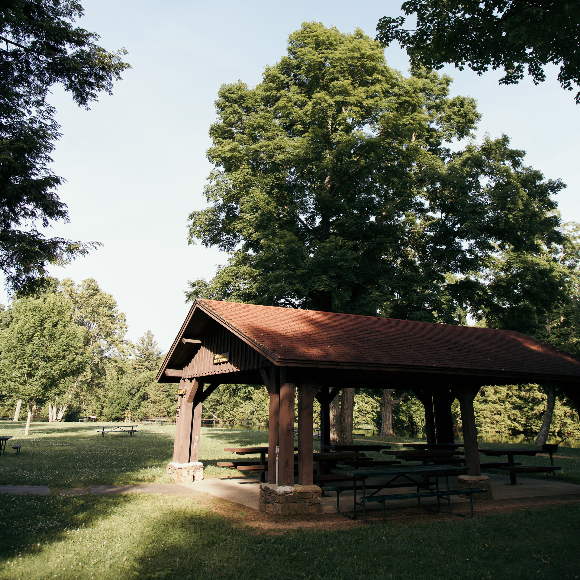
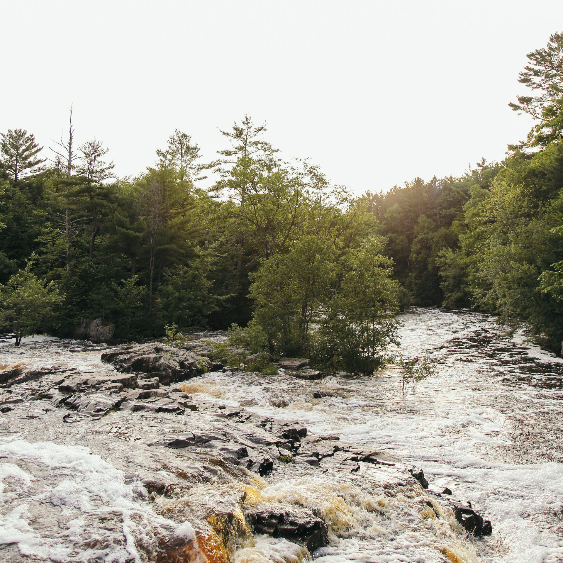
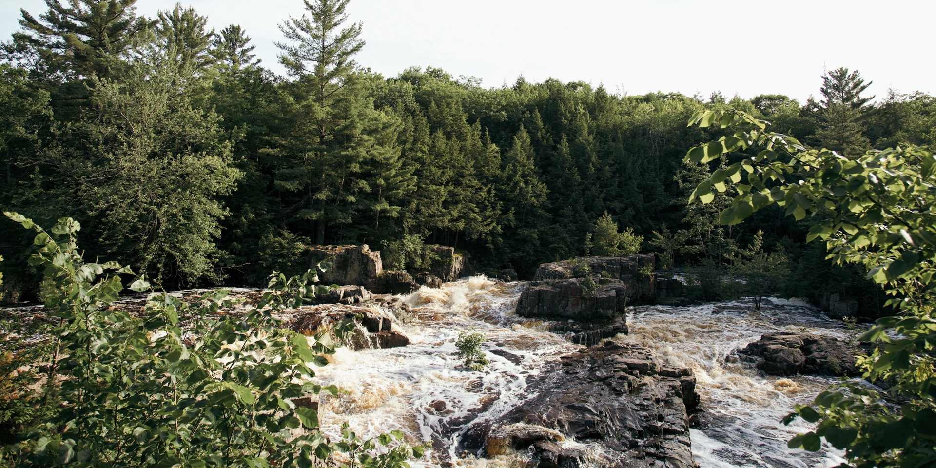
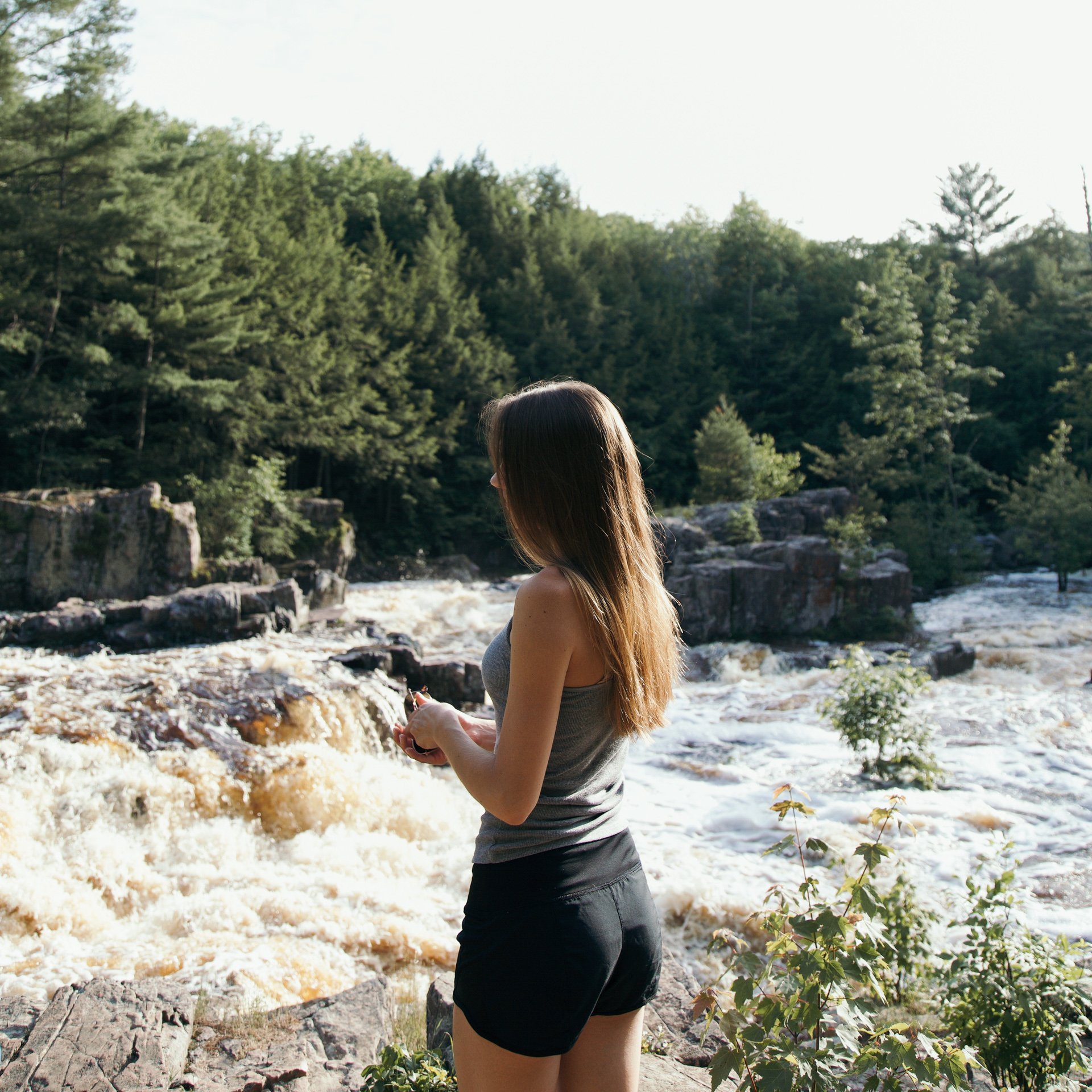
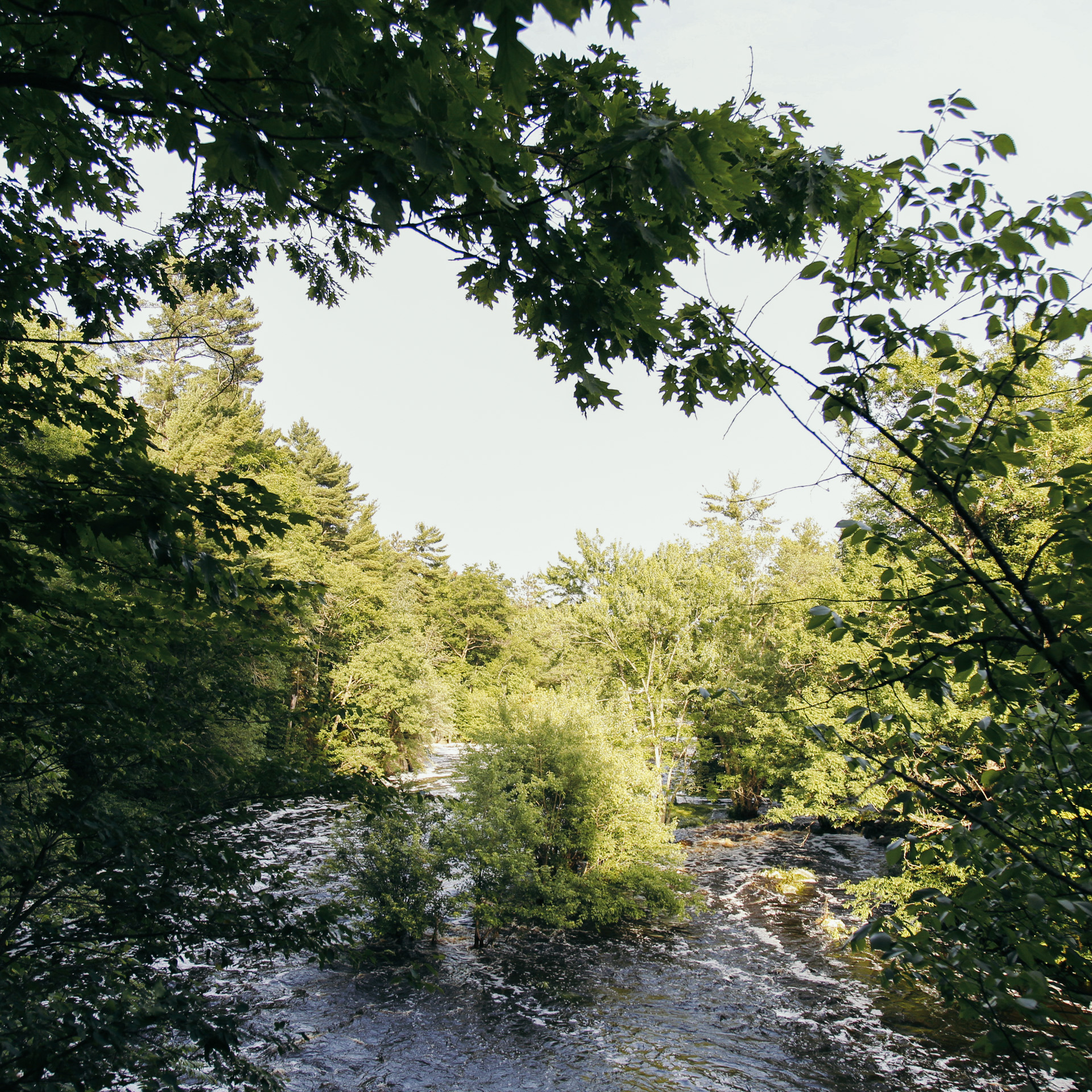
The park features a campground, multiple picnicking spots, a segment of the Ice Age Trail, and the geological gorge that it’s most known for. The gorge is where the Eau Claire River tumbles and rushes over the ancient bedrock, creating swirling pools and waterfalls. In the middle of summer, once the river slows, it becomes a popular swimming hole.
Behind the Name
And the words “Eau Claire” is French for “clear waters”.
Location
The Dells of the Eau Claire is located in central Wisconsin, about 25 minutes east of Wausau.
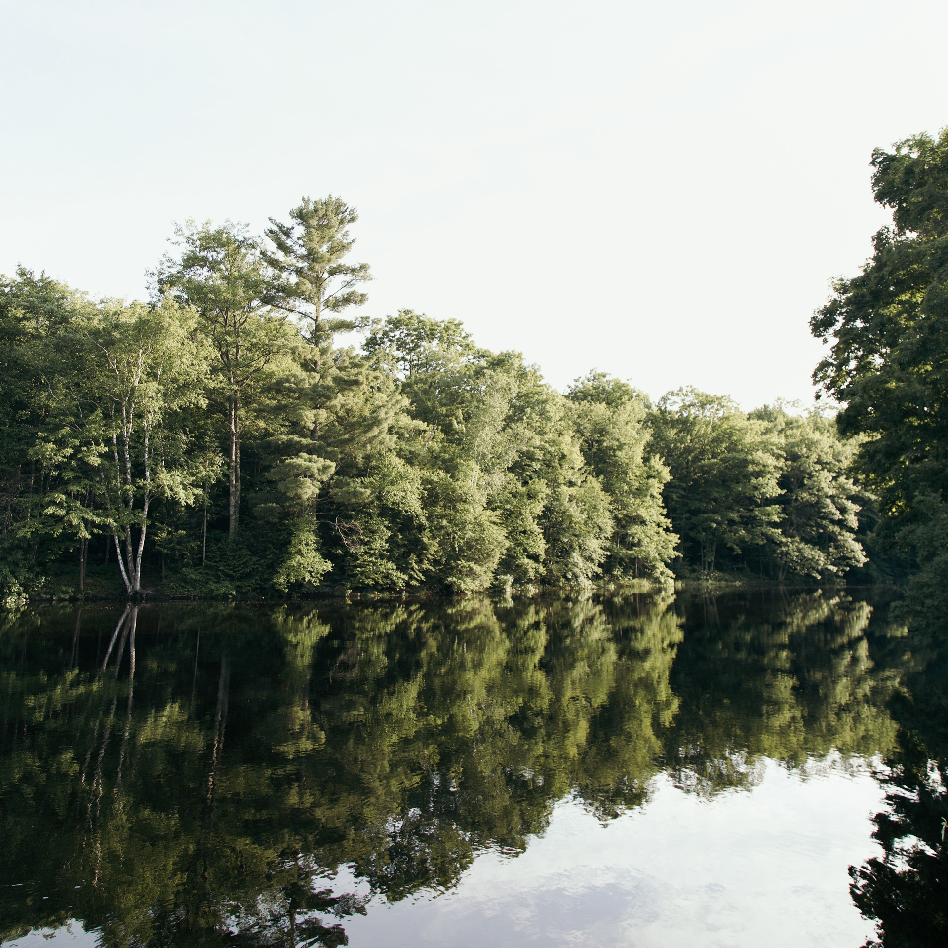
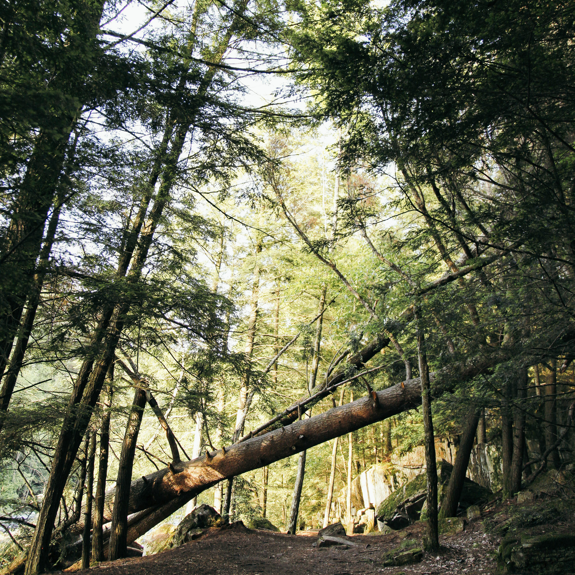
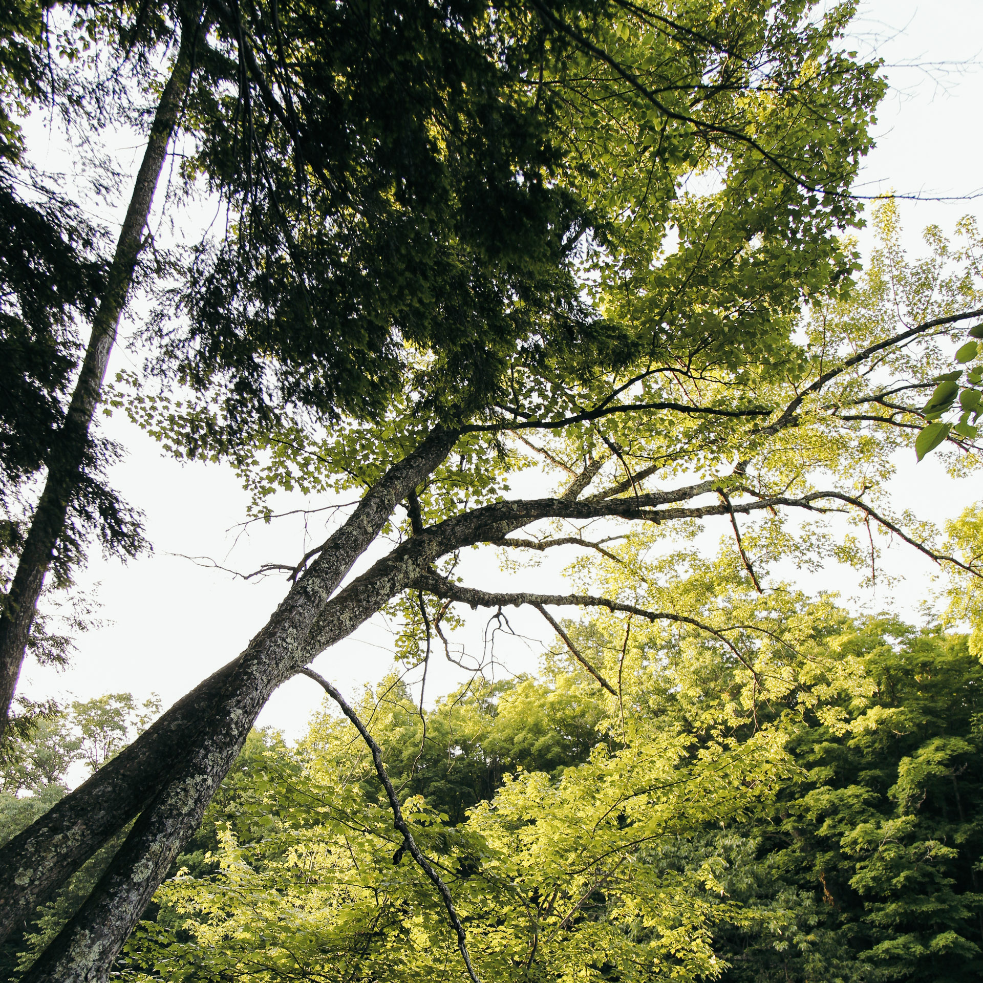
The Park
The Trails
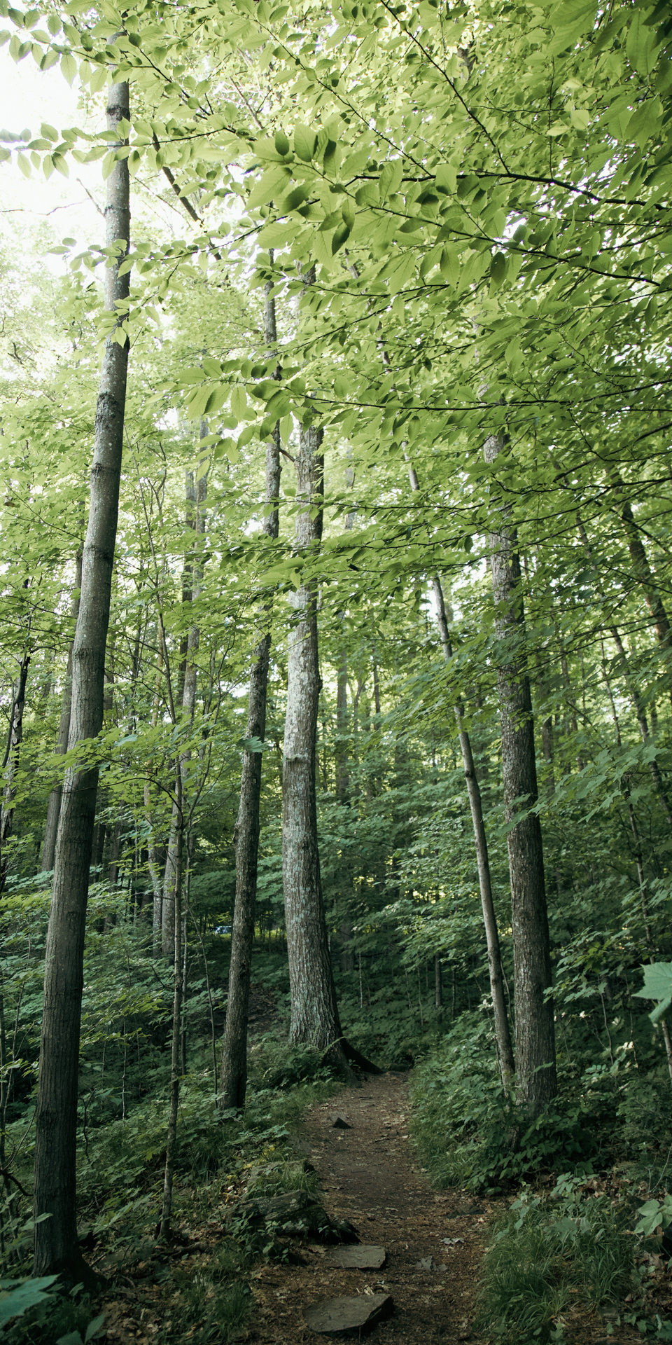
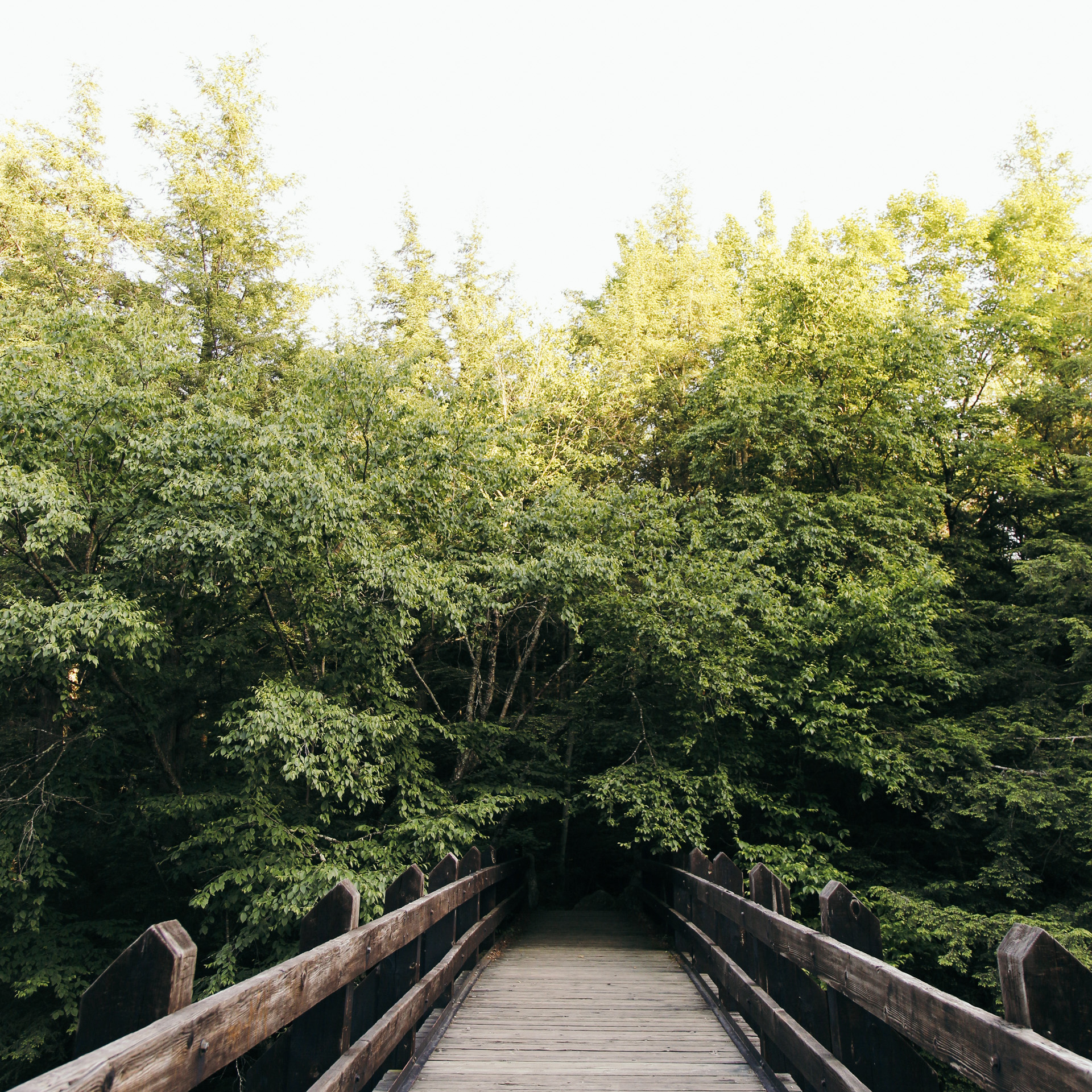
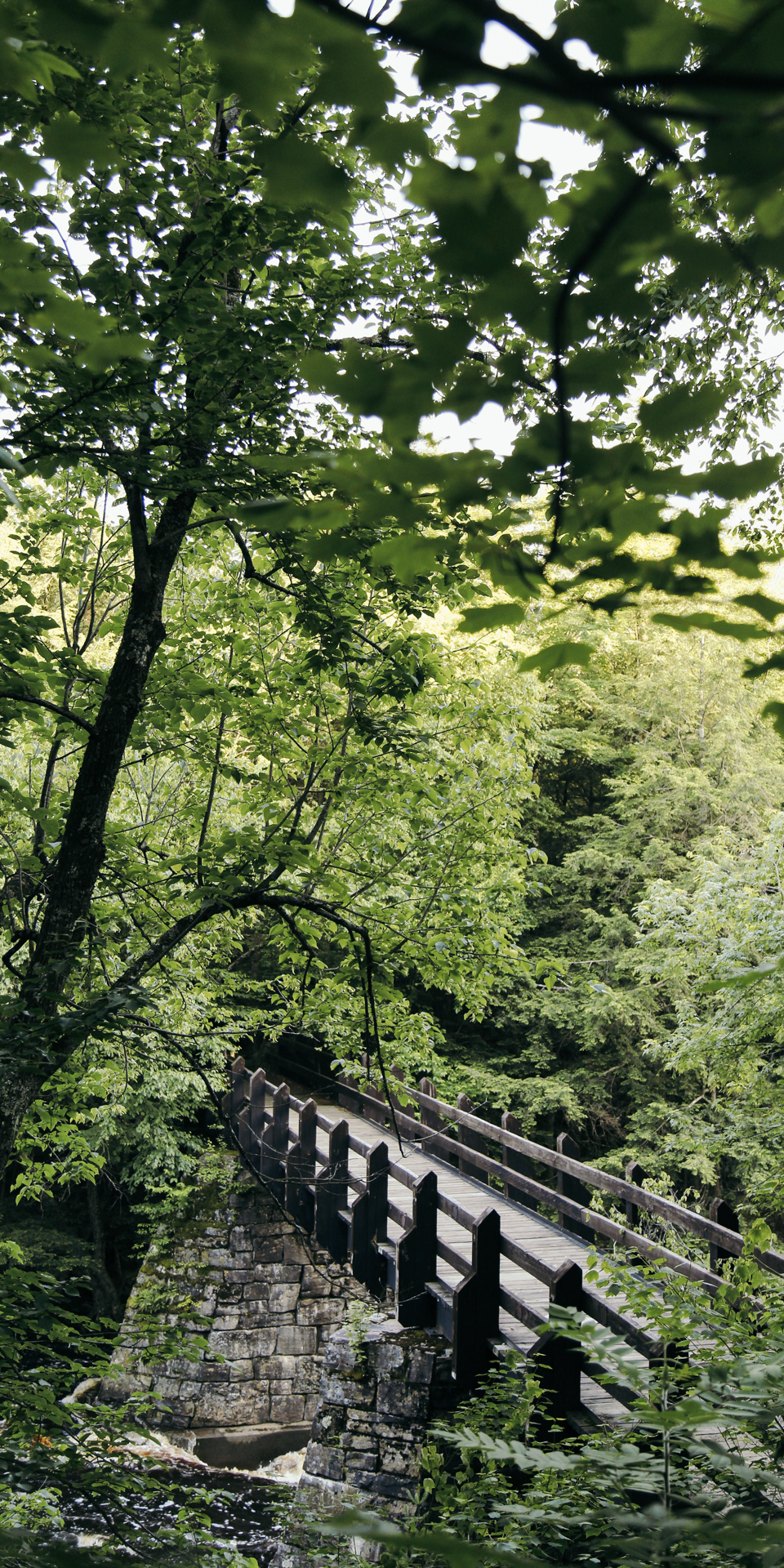
For an easy and pleasant 1.2 mile hike, try the Dells of the Eau Claire loop. You’ll start by hiking on one side of the river, then you’ll cross over a walking bridge and hike on the other side of the river. Here’s a map of the loop from alltrails.com.
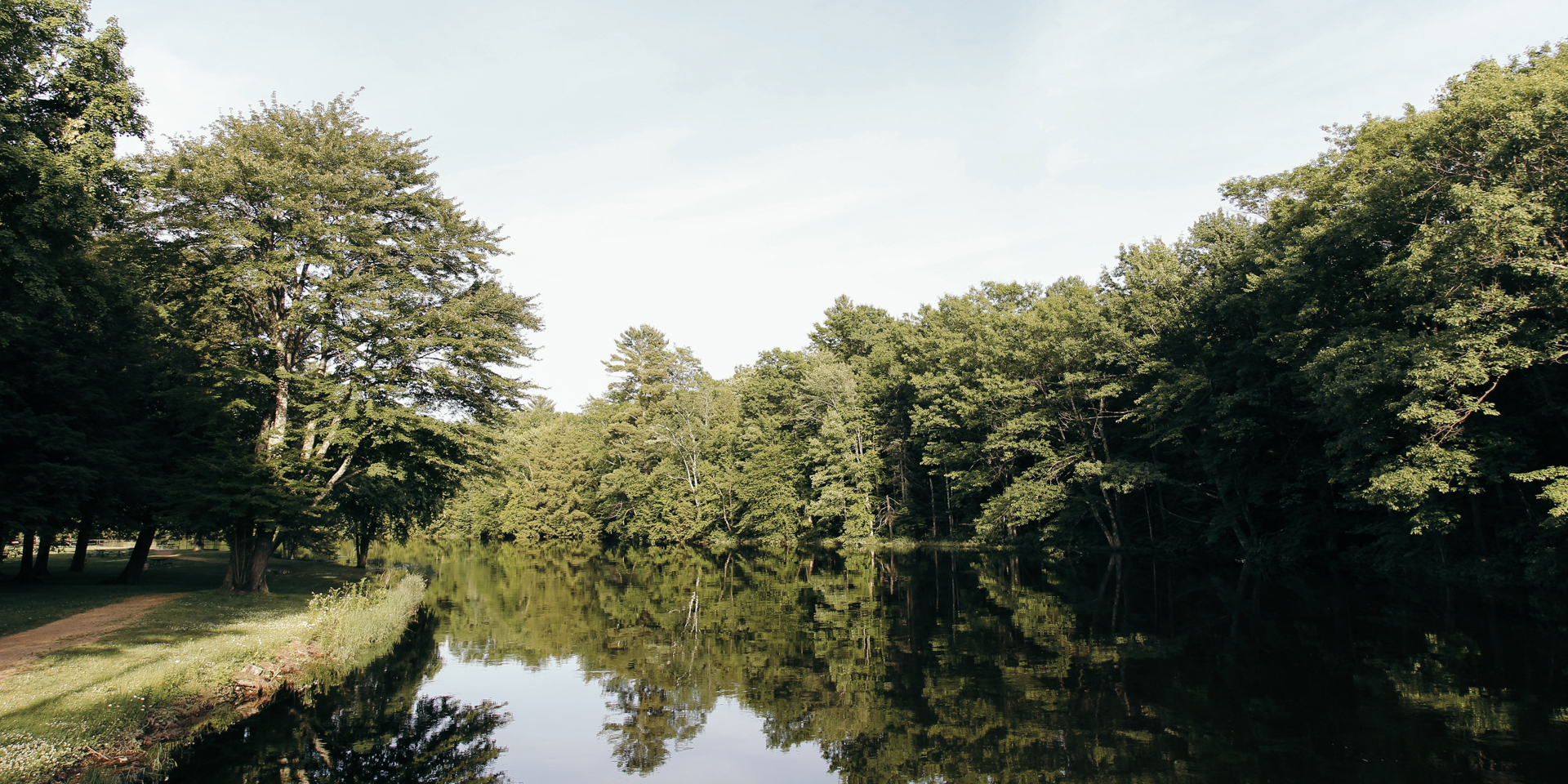
The Dells
To give you a better idea of just how high the river currently is, take a look at the first picture below. Can you see how most of the rocks are pretty much completely submerged in rushing water? Well, last summer, I was sunbathing on those rocks!
Is their pavement there for us to ride our bicycles?
Are their public toilets?
Are their public showers?
We are coming next week, have reservations, forgot to ask these things!!
Is their pavement there for us to ride our bicycles?
Are their public toilets?
Are their publicshowers?
We are coming next week, have reservations, forgot to ask these things!!